Grand Paris: the map
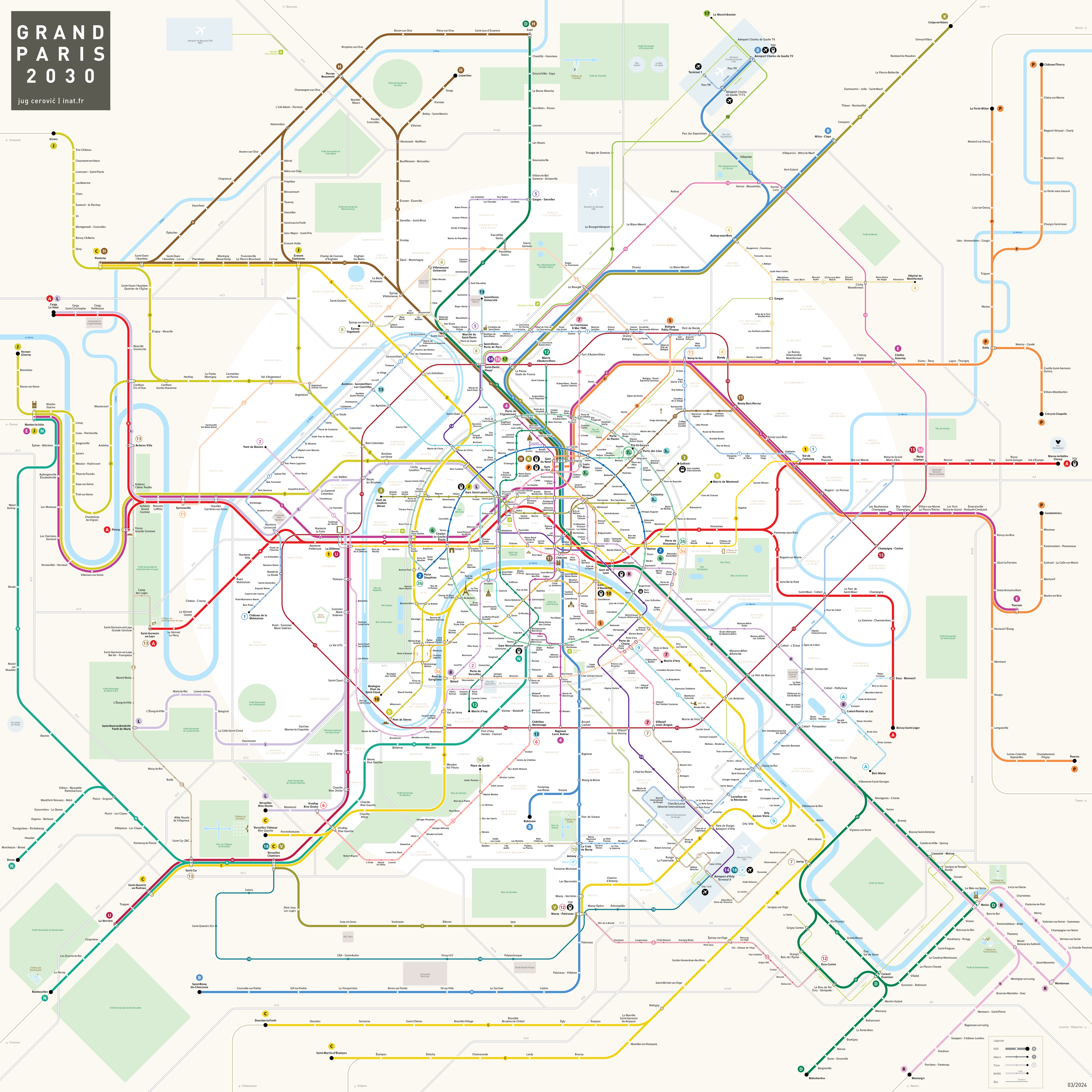
Schematic map of the Grand Paris network in 2030
10 composition principles for a schematic map
Le plan de Paris in 10 points
Le plan du Grand Paris in 10 points
Composition
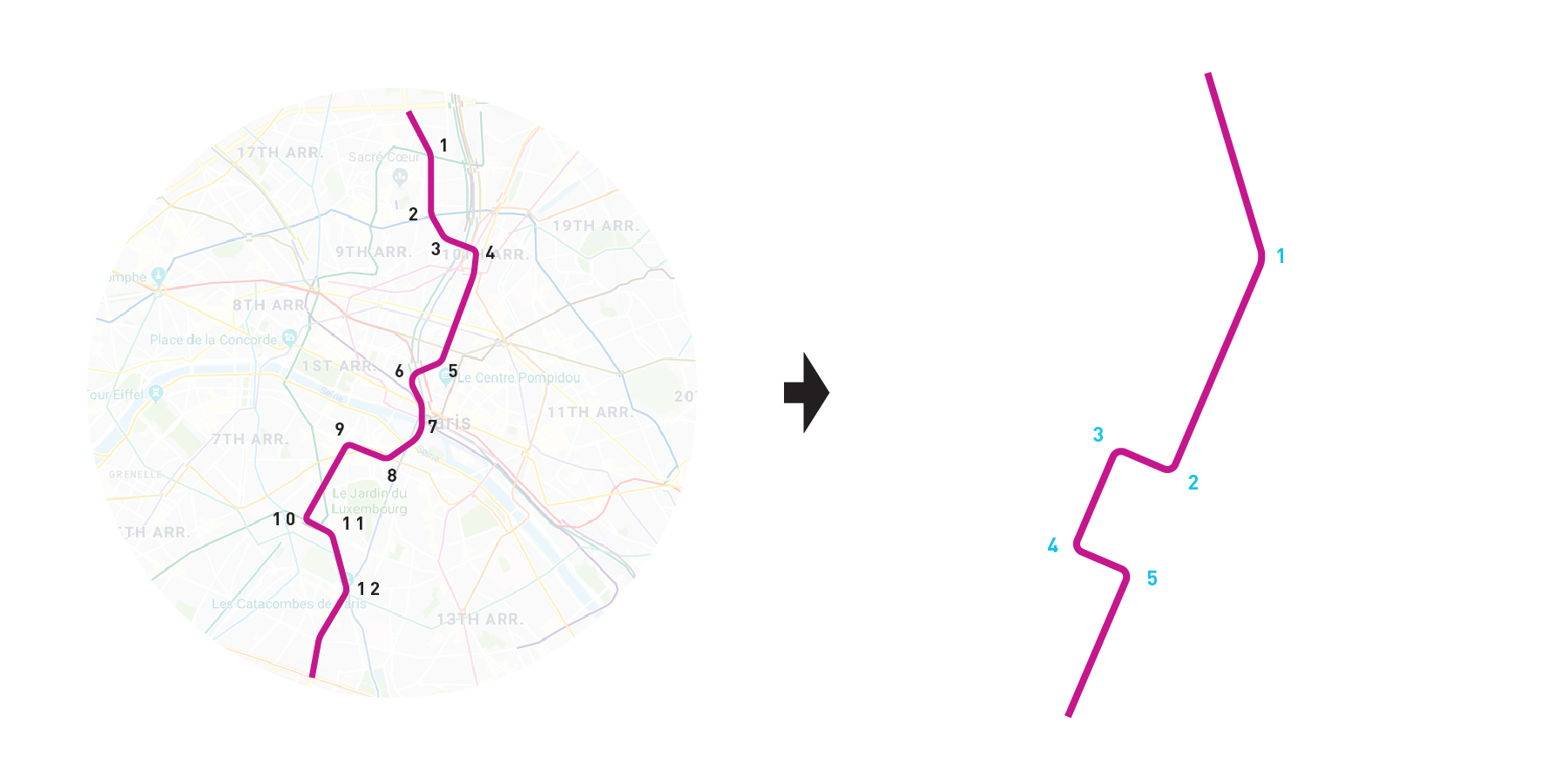
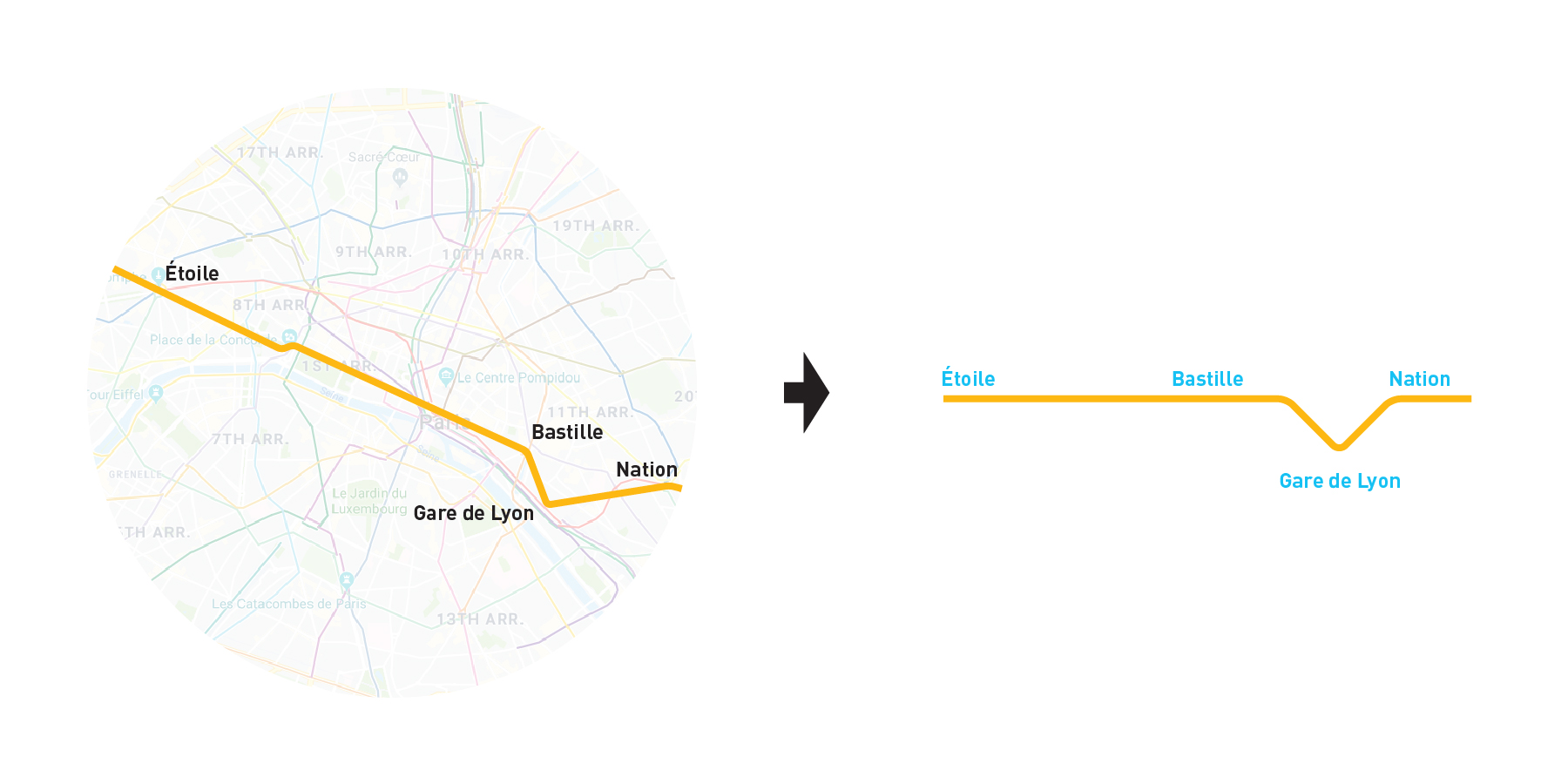
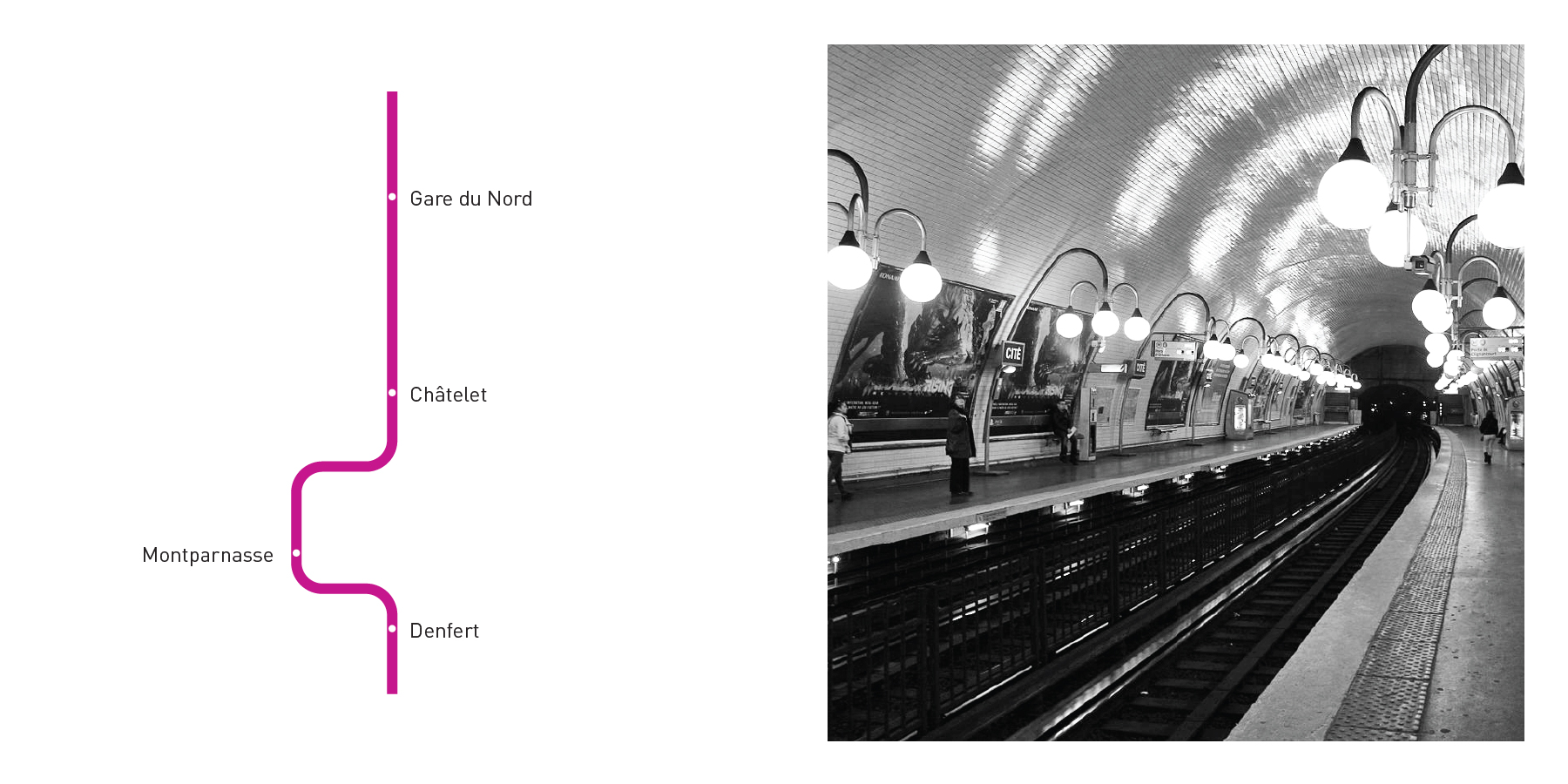
1. Simplified Lines
The less kinks it has, the easier it is to memorize a shape.
2. Constrained Angles

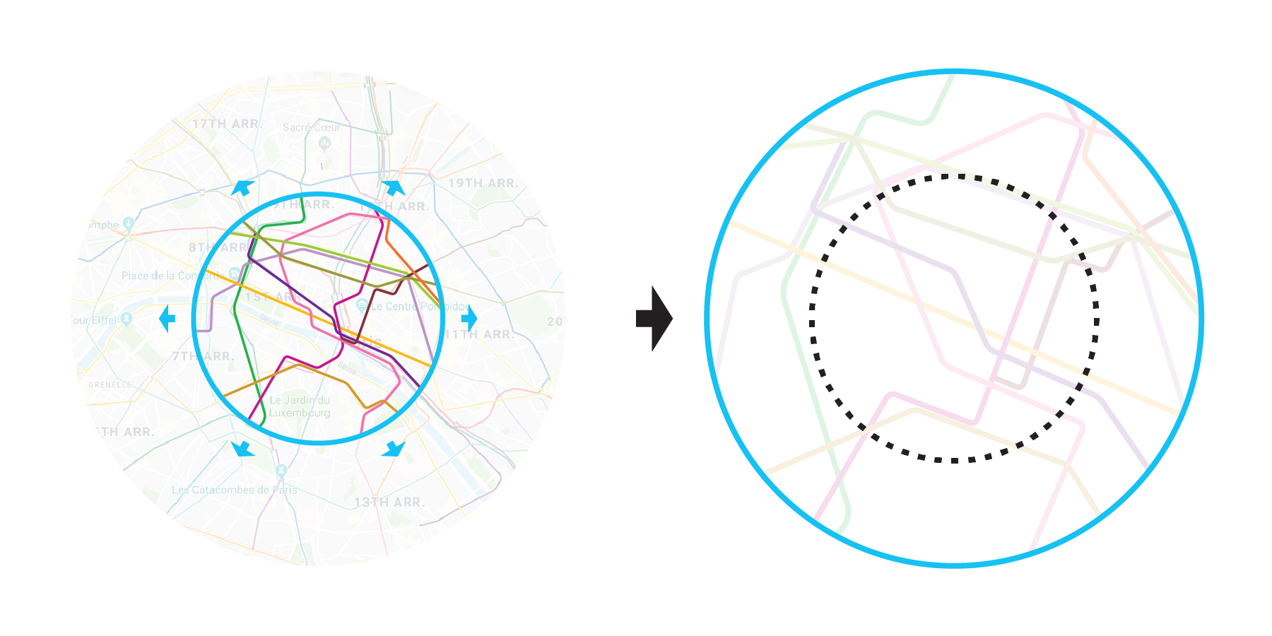
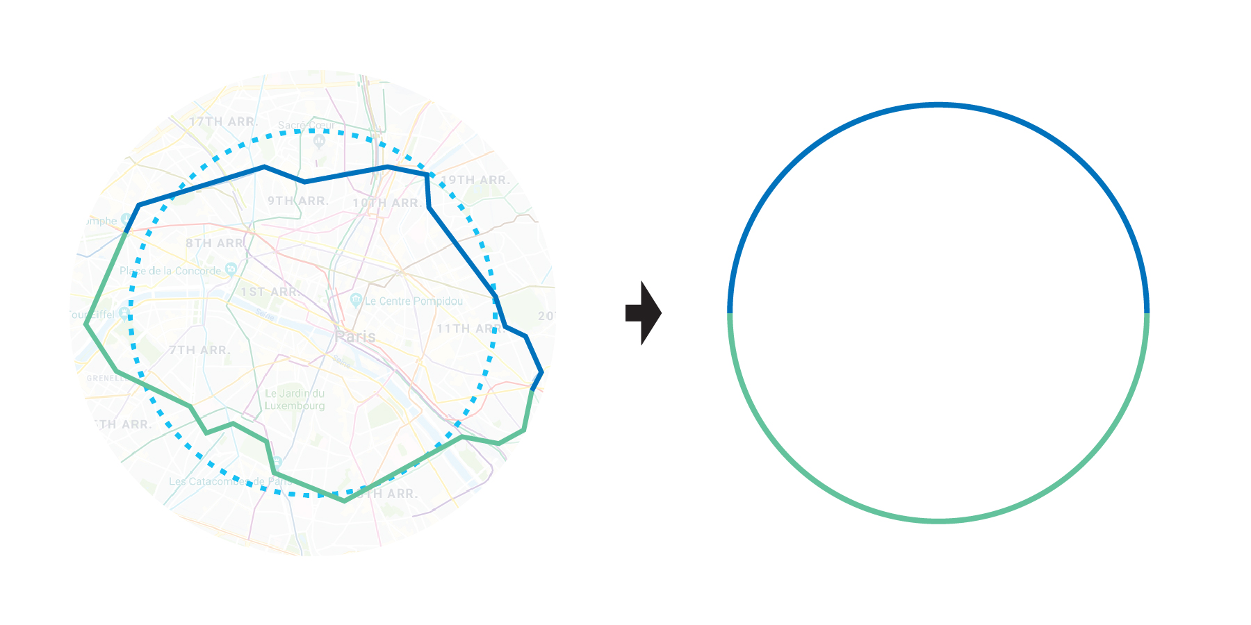
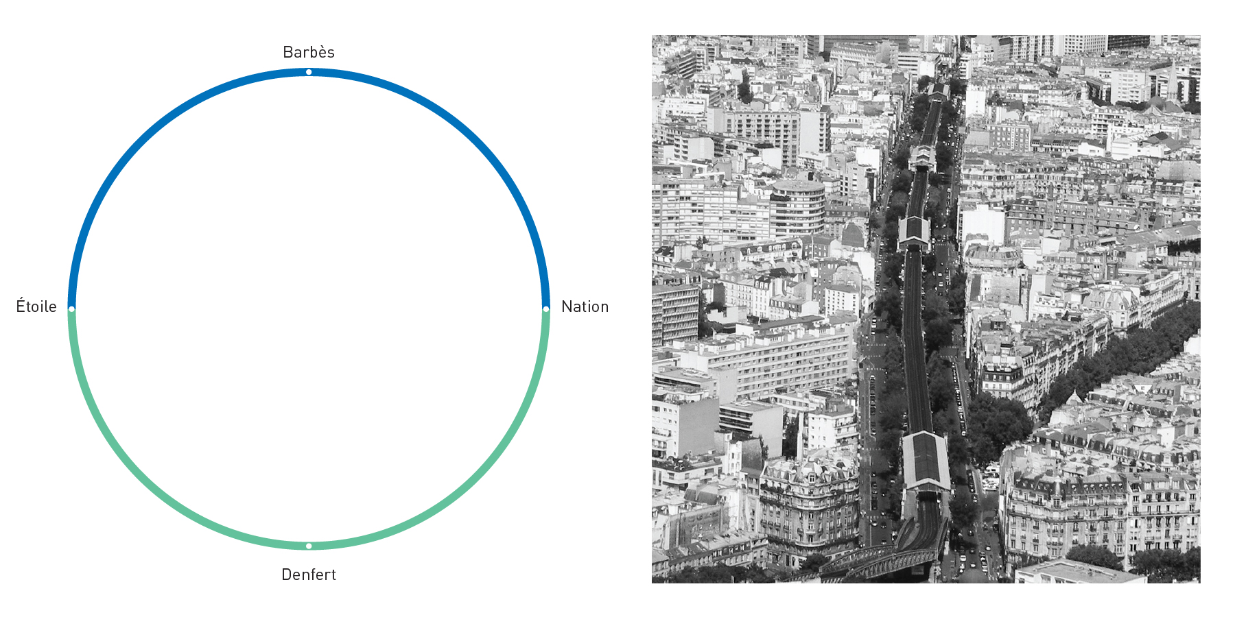
3. Enhanced Center
4. Preserved Topology
5. Information Hierarchy

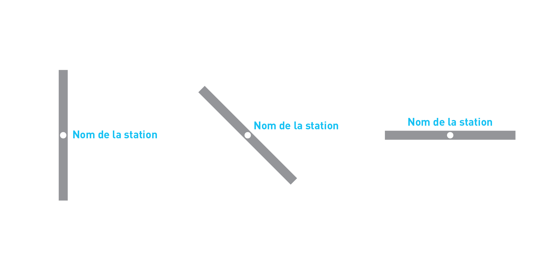
6. Horizontal Labels
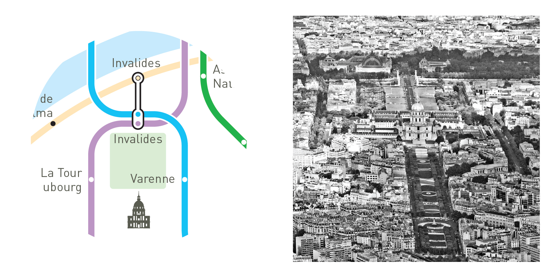
7. Symbolic Shapes
8. Explained Transfers

9. Highlighted Terminus

10. Evoked landscape
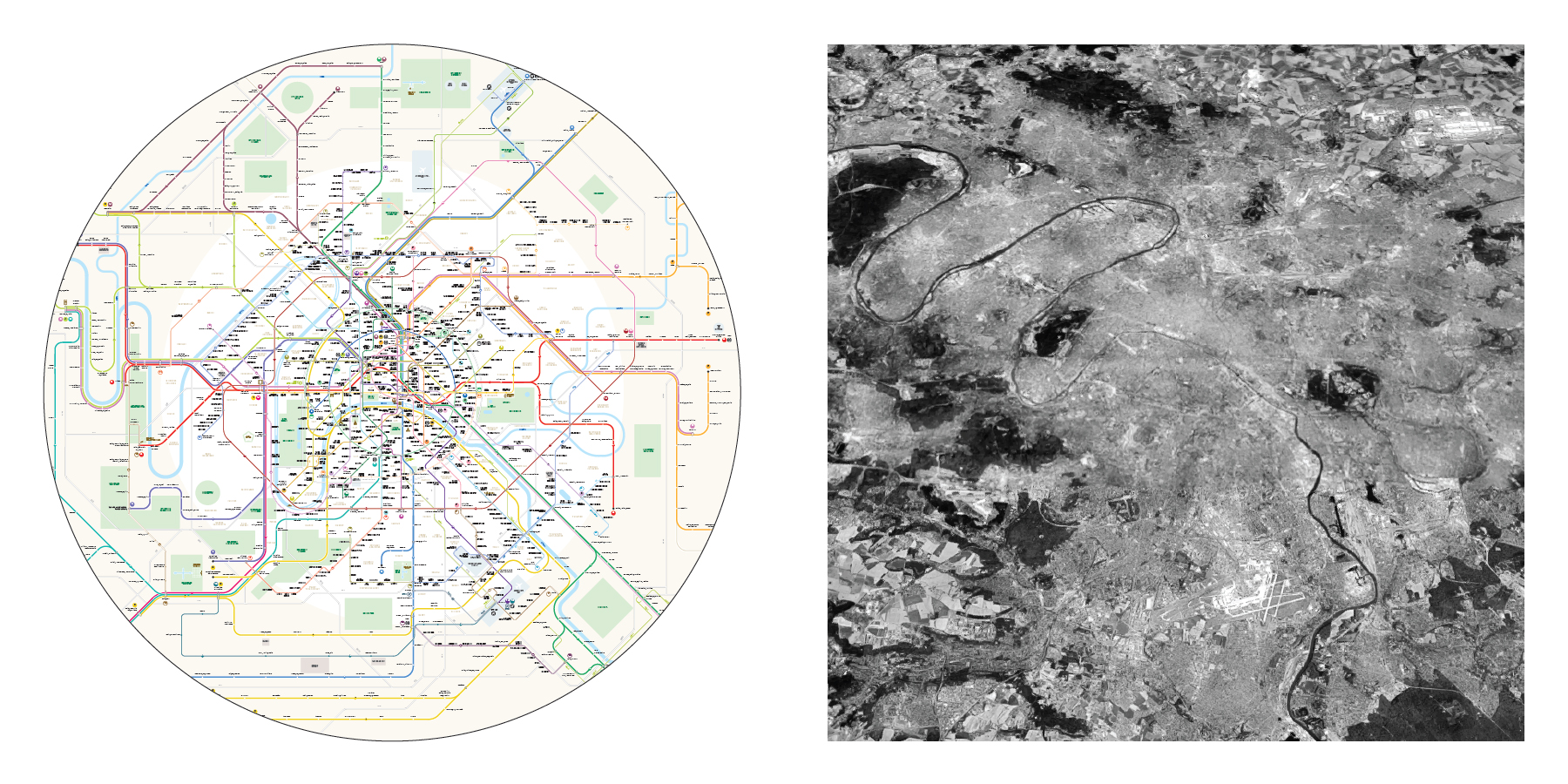
The map of Paris
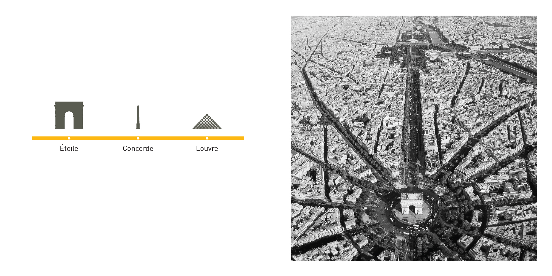
1. Historic Axis | Line 1
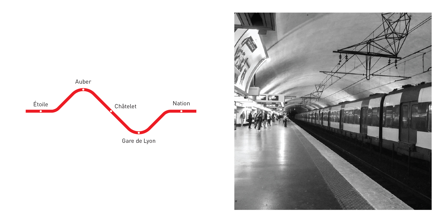
2. East-West Wave | RER A
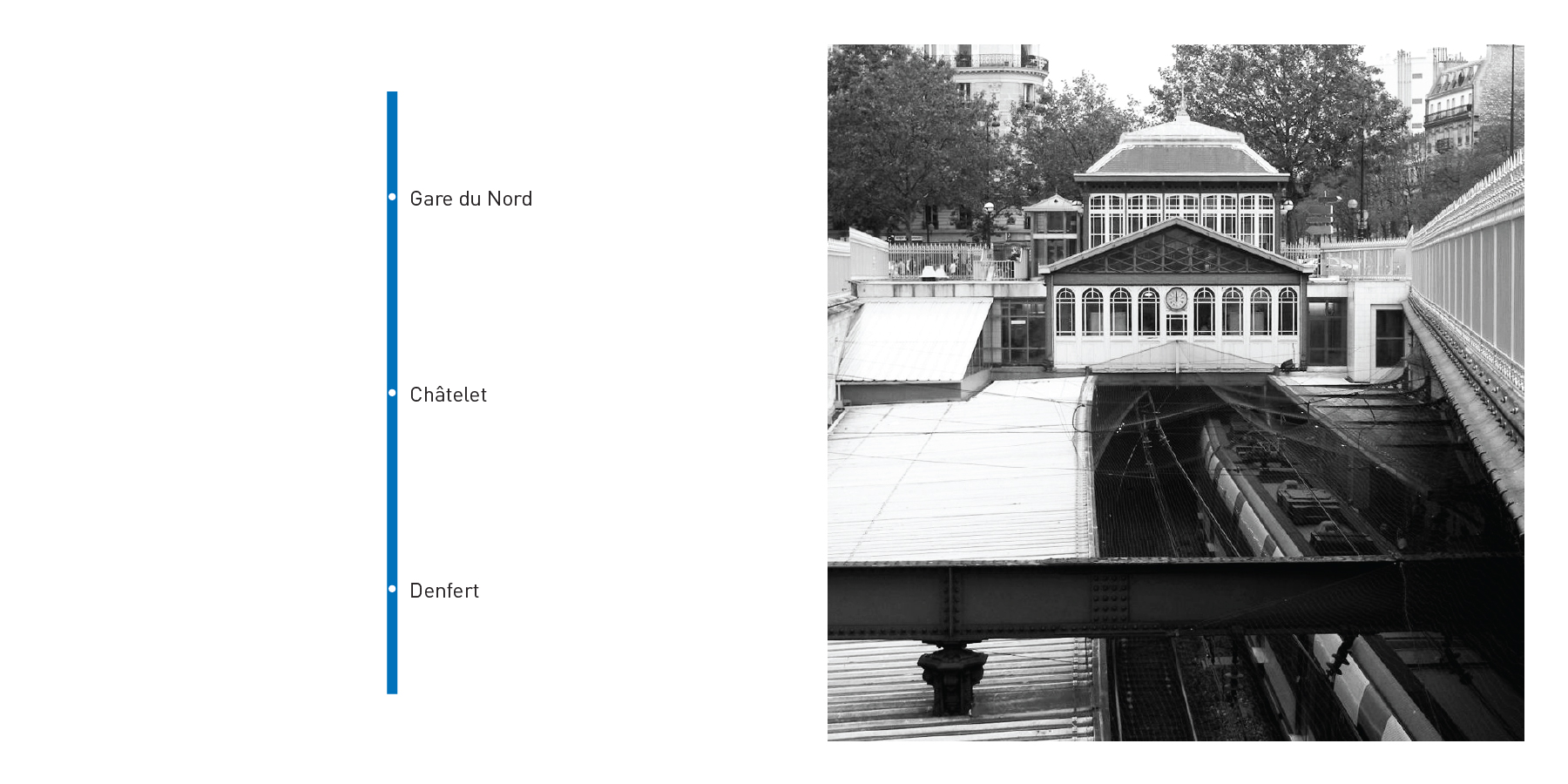
3. North-South Axis | RER B
4. North-South by Montparnasse | Line4
5. Aerial Metro Loop | Lines 2 et 6
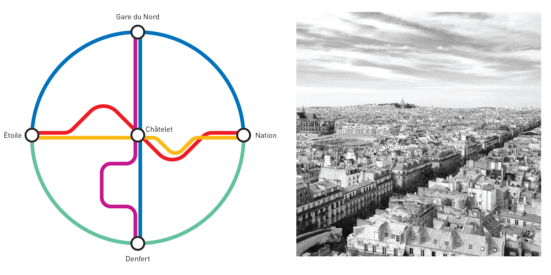
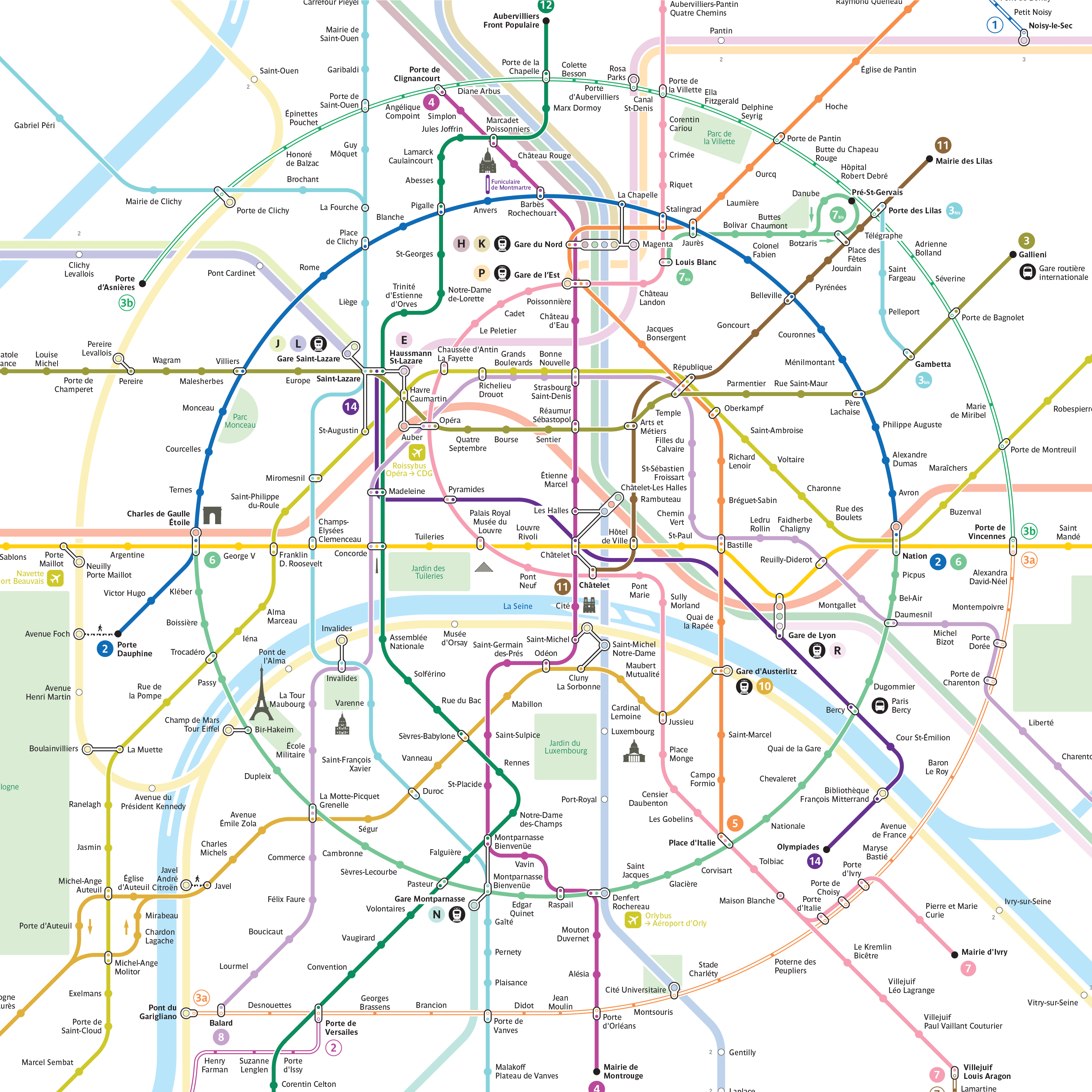
6. Network Structure
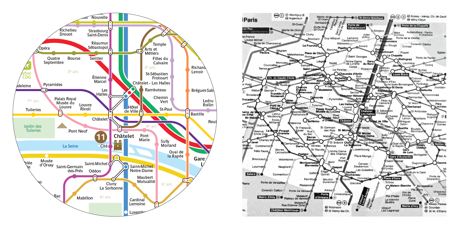
7. Detailed Transfers
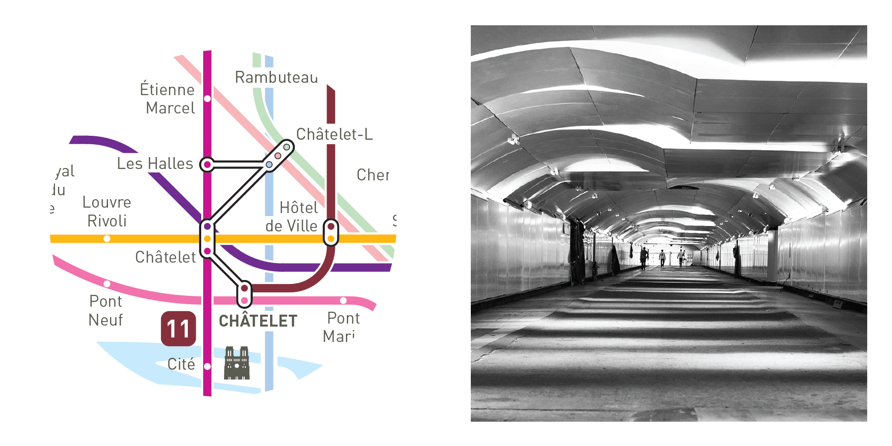
Châtelet, Montparnasse, Opéra/Saint-Lazare
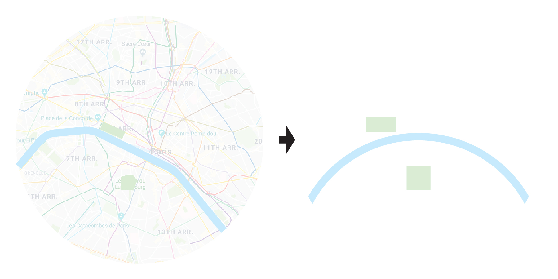
8. La Seine

9. Monuments

10. A map that looks like Paris
The map of Grand Paris
1. Familiar Graphic Language
RATP style: colors, shape and typeface
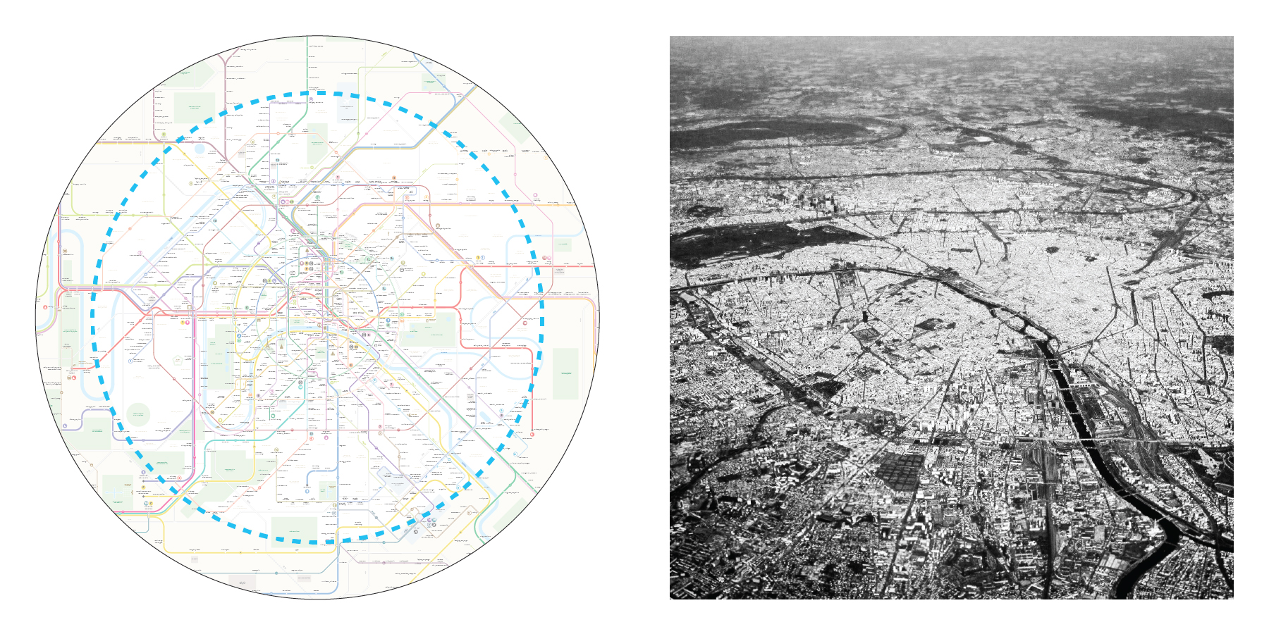
2. On Scale Center
Inside the central circle distances and proportions are preserved. Outside of it the map is purely schematic.
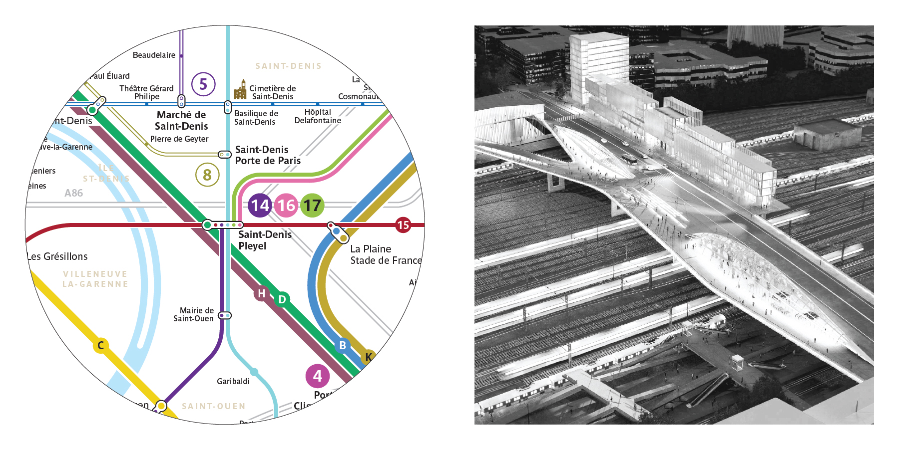
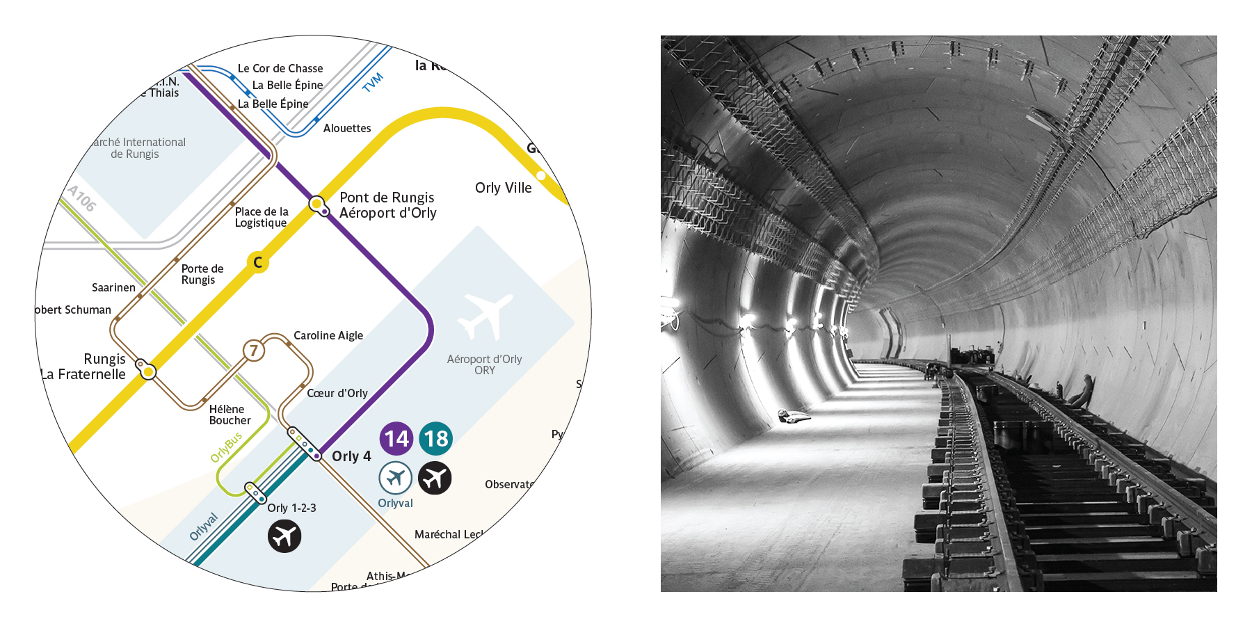
3. Grand Paris Express
Four new lines:
15 Loop
16 St-Denis-Pleyel - Noisy-Champs
17 St-Denis-Pleyel - Charles de Gaulle Airport
18 St-Quentin-en-Yvelines - Saclay - Orly
4. Network Extensions
Metro lines 1, 11, 12, 14
RER E westward
Trams 1, 7, 9, 10, 11, 12, 13
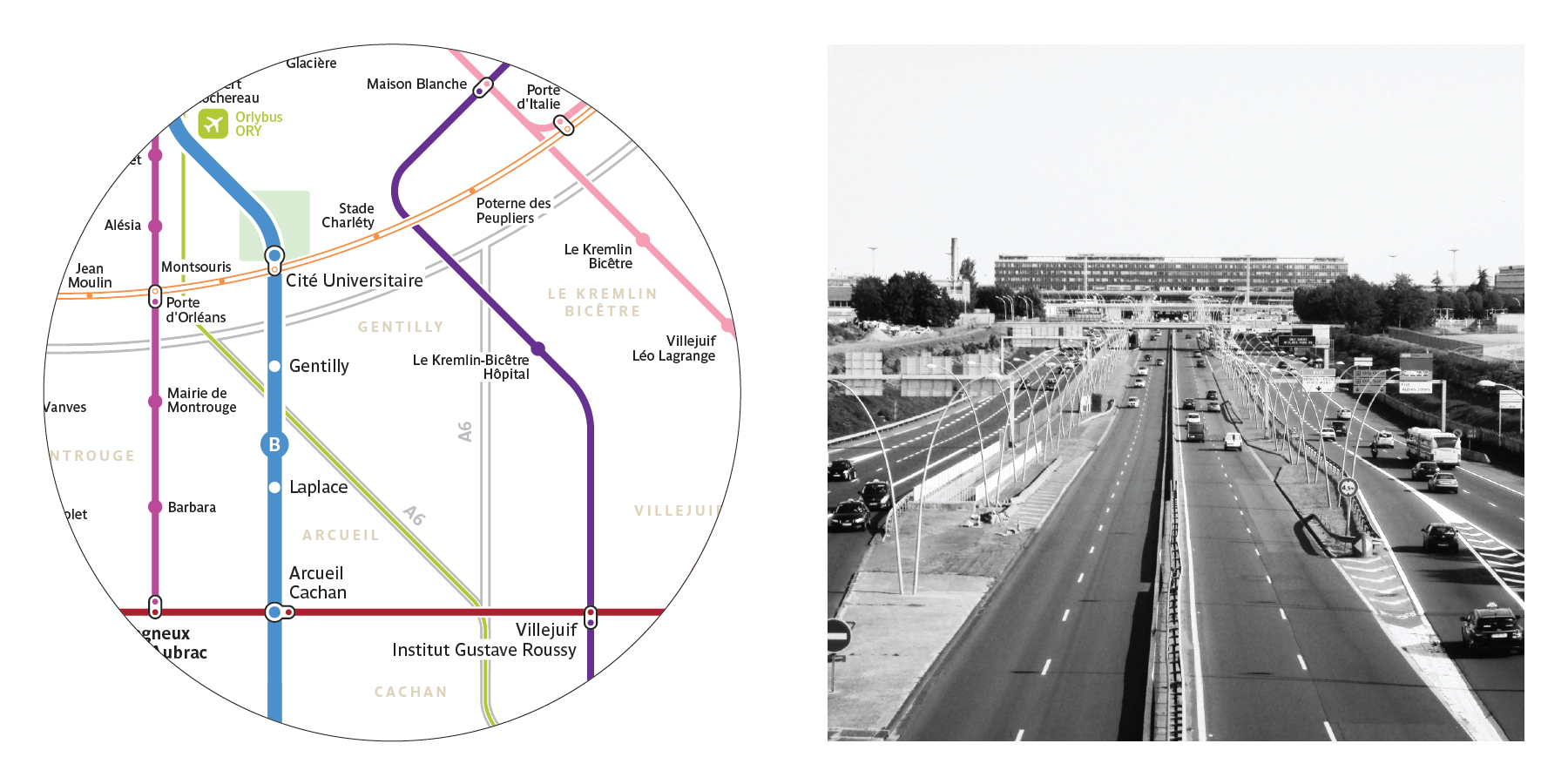
5. Highways
Boulevard périphérique, A86, radial highways (A1, A2...)
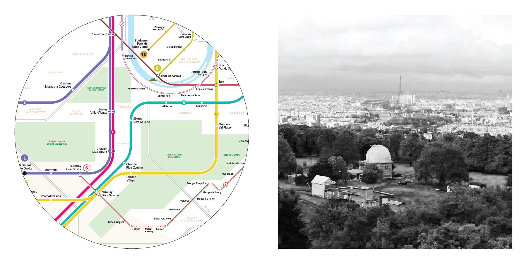
6. Rivers and woods
La Seine, la Marne, l'Oise, South-Eastern forest arc, bois de Boulogne and Vincennes, large parcs.
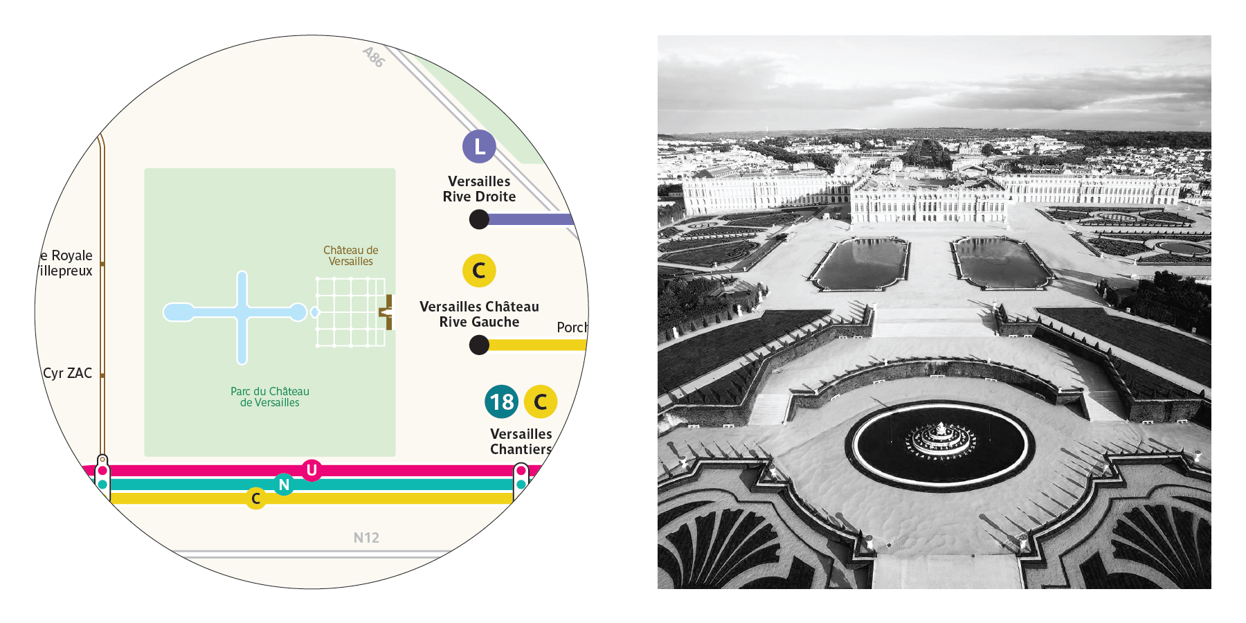
7. Castles and castle gardens
Versailles, Vaux-le-Vicomte, Fontainebleau, Rambouillet, Saint-Germain-en-Laye, Chantilly, Vincennes, Sceaux.
8. Large Infrastructures
Airports, university campuses, Rungis market.

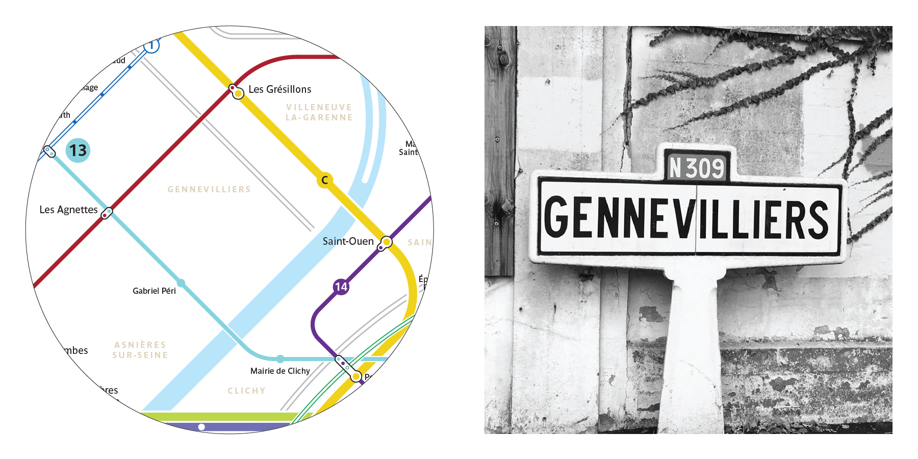
9. Les communes
10. The image of Grand Paris